icon for Home page
icon for Kid's Home page
icon for Digital Collection
icon for Activities
icon for Turns Exhibit
icon for In the Classroom
icon for Chronologies
icon for My Collection

Online Collection
Select a page:

document
(c) Pocumtuck Valley Memorial Association, Deerfield MA. All rights reserved.
Contact us for information about using this image.


label levels:

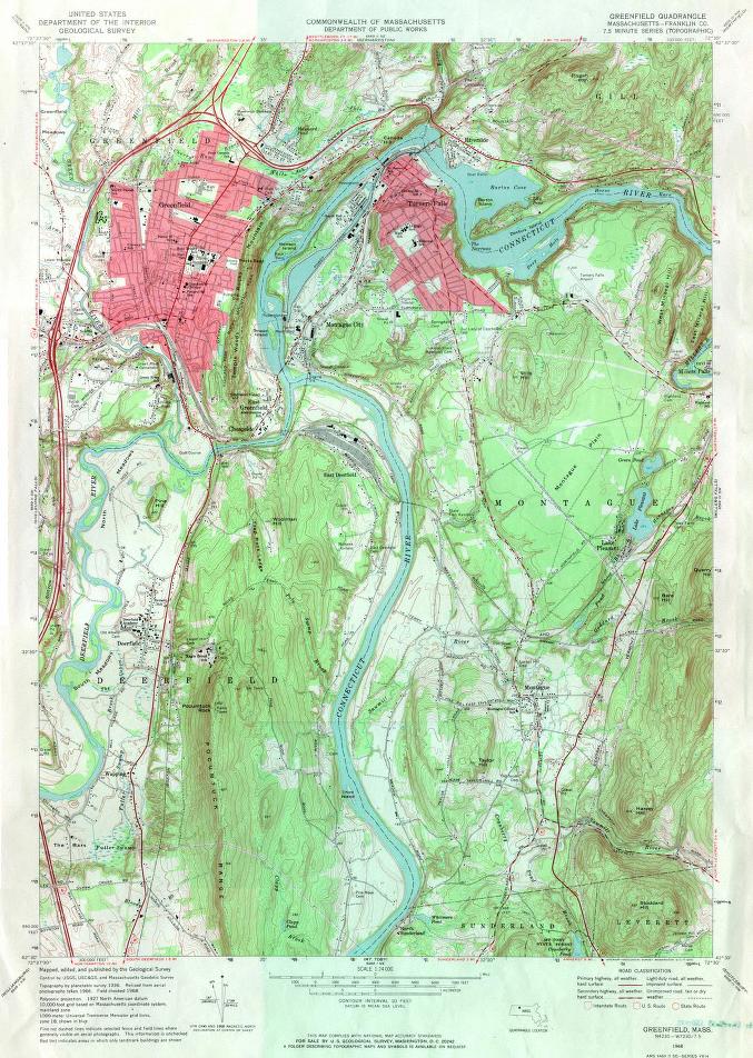
In addition to providing a detailed depiction of the geography of a location, United States Government Survey maps furnish historical information. This comes in the form of locating features such as old cemeteries, or buildings that no longer serve the purpose that they once did. In addition, place names remind us of the past. For example, 17th century settler Robert Poag lives on in the name Pogue's Hole Rd., and although the enclosure of the south meadows no longer exists, the area is still called The Bars.


top of page

"Greenfield, Mass."

cartographer   U. S. Geological Survey
date   1968
location   Washington D.C.
height   27.0"
width   22.0"
process/materials   printed paper, ink
item type   Maps/Topographical
accession #   #L98.001


Look Closer icon My Collection icon Detailed info icon


ecard icon Send an e-Postcard of this object


See Also...

"Greenfield & Gill"

"Historical Collections, being a General Collection of Interesting Facts, Traditions, Biographical Sketches, Anecdotes &c.",

Greenfield, Mass Birds-Eye View


button for Side by Side Viewingbutton for Glossarybutton for Printing Helpbutton for How to Read Old Documents


Home | Online Collection | Things To Do | Turns Exhibit | Classroom | Chronologies | My Collection
About This Site | Site Index | Site Search | Feedback